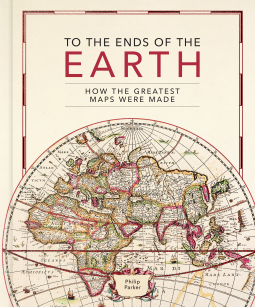
To the Ends of the Earth
How the greatest maps were made
This title was previously available on NetGalley and is now archived.
Send NetGalley books directly to your Kindle or Kindle app
1
To read on a Kindle or Kindle app, please add kindle@netgalley.com as an approved email address to receive files in your Amazon account. Click here for step-by-step instructions.
2
Also find your Kindle email address within your Amazon account, and enter it here.
Pub Date Sep 19 2023 | Archive Date Aug 21 2023
Quarto Publishing Group – Ivy Press | Ivy Press
Talking about this book? Use #TotheEndsoftheEarth #NetGalley. More hashtag tips!
Description
Britain’s leading cartographic author takes us on a historical journey through how the greatest maps were created. Exploring key cartographers and mapmaking methods, as well as fascinating interludes on subjects such as the very first maps, deliberate mistakes, and superlative maps, this comprehensive guide explores how the techniques and technology have developed throughout human history:
• Evolving methods of surveying: from the Roman groma, through the naval instruments of the magnetic compass, astrolabes and sextants, to the 20th century revolution of aerial photography
• Drawing tools and materials: from Babylonian maps carved in clay, to digital maps created via touchscreen
• The introduction of various mapping conventions and key components of a map: from Ptolemy's introduction of longitude and latitude, through the 13th century origins of having north at the top, to the various projections used to represent the Earth.
With visually stunning historic maps and antique instruments, this book will engross readers with its fascinating stories of how we came to chart our world.
Available Editions
| EDITION | Other Format |
| ISBN | 9780711282643 |
| PRICE | $35.00 (USD) |
| PAGES | 240 |
Available on NetGalley
Average rating from 5 members
Readers who liked this book also liked:


Views expressed in promotions/advertisements do not necessarily reflect those of NetGalley or its affiliates.
© 2026 NetGalley LLC
• All Rights Reserved


Views expressed in promotions/advertisements do not necessarily reflect those of NetGalley or its affiliates.